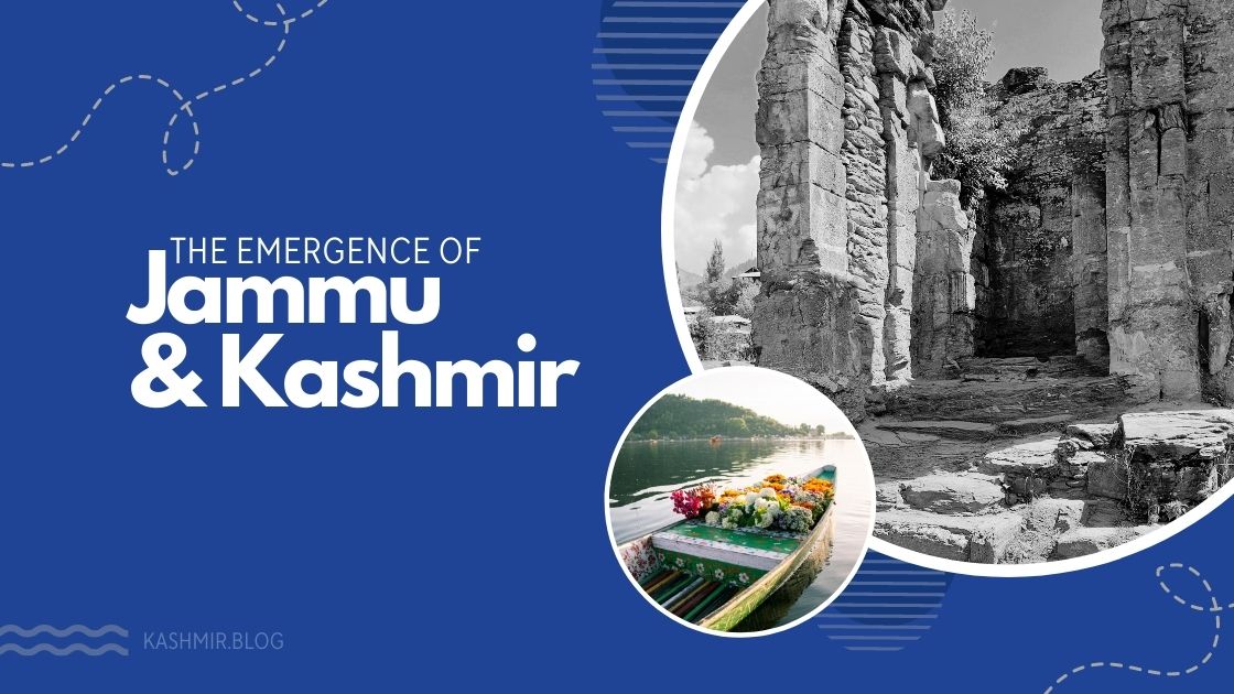
The state of Jammu Kashmir is located in the lap of Himalayas and Kara-Koram. The steep high peaks on Kashmir motorway near Rampur remind us of the shells of marine fish that have accumulated over time. A close observation of these rocks indicates that at some remote stage in history would be at the bottom of a sea. The fossils of the kastora fish in the various areas of Kara Koram and Pir Panjal also point to such an observation. In addition it is also evident from the fossils found in the mountains of the “Zee Won” area. A few miles eastward from Srinagar, the valley of Kashmir was once submerged into the sea and later appeared on the surface. The rocks of dried lava on the seat of Suleiman near Srinagar make it clear that they came into existence as a result of a volcano eruption. This process could have occurred under the sea. The presence of granite stones beside Nanga Parbat shows that they have erupted out of the land from under the sea. Similar evidence has been found about K2 and Nanga Parbat. The sky high mountains indicate that they must have been submerged into the sea at some stage. These mountains have emerged out of deposits of dust, sand, plants or sea animals laying there for billions of years. Later on, these rocks, piled on each other, came out of the sea. The earth seems to have been pressed in this way, which resulted in cracks. This is how the surface the earth kept changing, causing reverberations. It is said that at one stage, Kashmir had a direct terrestrial link with America, Madagascar and the western Africa.
These rocks leapt thousands of feet up as a result of their movement under the earth. This process was not possible in a matter of a few years. It would have taken billions of years. Only the one, who might have seen the beautiful mountains of Kashmir, could believe in the truth of this claim and process. These mountains tell their own story of rebellion. Today the splendor and greatness of there is self-evident their sight is more than enough to impress any on-looker. According to a careful estimate, it took over a billion of years. It is, however, difficult to describe the exact boundaries of the Teeth Ocean in which Kashmir was submerged. Though somehow it was connected as an island with India and Africa both through land and sea. The ocean was linked to Europe in the west and China in the east. The waste and rubbish brought by the rivers gradually accumulated in its bottom in thousands of years which turned harder and harder and eventually emerged as mountains.
Scientifically, the most massive and biggest movement under the surface of earth took place 4 hundred million years ago before the Joncer period. The chest of the earth eagerly rose above the sea, land appeared up and whatever was accumulated under the surface of water came out. Volcanic eruption took place and the newly formed rocks were covered with the layers of lava, which eventually developed into the mountains we see today. One of them is the seat of Suleiman. This was the initial formation and manifestation of Kashmir, which was not as beautiful as it seems today having been covered with jungles, snowy peaks and engaging valleys but was only in the form of a jumbled up group of volcanic islands. Still this was not the permanent landscape of Kashmir because it submerged again into the ocean and remained there for the next 350 to 400 million years. But again in the carboniferous period, the island of Kashmir reappeared as a result of enormous volcanic activity. Gradually the whole Kashmir as it exists today emerged and became visible adjacent to the continent. Then it was connected to Africa through land. We can easily estimate from all such changes that the current stationary piece of land is still not final but has undergone enormous activity.
However, this was still not final but also a short period of Kashmir’s existence, because in the middle of the carboniferous period, it submerged again and remained there for thousands of years. First, it re-emerged in the initial tertiary i.e some 4 million years ago and gradually pushed the sea away from Tibet and Himalaya. During the Eocene age (2 to 2.5 million years ago) Tibet and Himalaya emerged as dry land. Kashmir was now a part of the continent. The underground powers were fully active. Another volcano turned things upside down, to which Himalaya’s emergence was probably attributed to. Molten granite from the bottom of earth came out through the layered rocks. It came from the boiling interior of earth and eventually got turned into unprecedented solid peaks. So the beautiful mountains in Kashmir are as much the result of evolution as elsewhere. The process of this evolution still continues both perceptibly and imperceptibly. Professor M B Pathawala states that: “It is to be noted that work of upheaval in the Himalayas has not yet been completed . They are still in the act of rising. So very unstable they are and the process is going on, even the heights of mountain peaks must be increasing.” (an introduction to Kashmir P.9)
